-
National Transit Database (USA) transit.dot.gov
Information and statistics on the transit systems of the United States, run by the Federal Transit Administration.
-
Simple Transit Site transit.chat
An online example of how to create a transit website all from your gtfs on Github
-
gtfs-to-geojson transit.chat
A simple online converter for gtfs to geojson with a list of feeds.
-
TransitLens transit-lens.com
Browser-based GTFS viewer for visualizing routes, stops, and shapes on an interactive map. Includes service calendar analysis, structured data tables, and GeoJSON/KML overlay support. No setup required.
-
Transfer Hero transferhero.app
Realtime metro trip planning for WMATA that surfaces useful transfers.
-
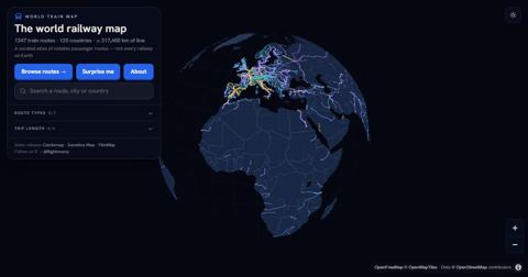
TrainRouter trainrouter.com
Interactive world atlas of 744 notable train routes (high-speed, scenic and night trains) with facts and photos for each route; the underlying data is open (CC BY 4.0).
-
Train Lookout trainlookout.com
A tool to easily Log, map and share your journeys by train.
-
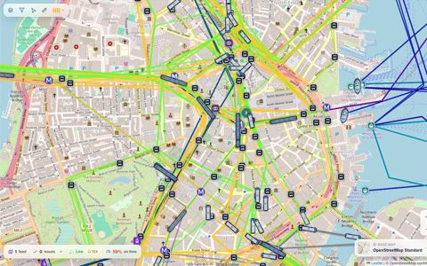
TRAVIC Transit Visualization Client tracker.geops.ch
Visualizes vehicles moving based on static GTFS data (and sometimes realtime data). Supports over 260 cities. Github account for geOps organization is here.
-
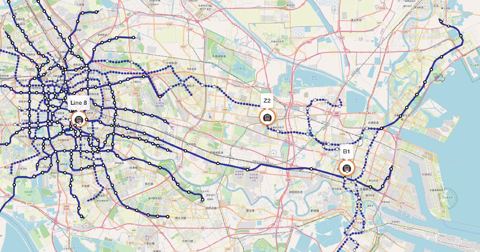
Transit Explorer thetransportpolitic.com
A map containing fixed-guideway transit around the world.
-
TransitClock thetransitclock.github.io
Java application that can consume raw vehicle positions and generate prediction times in formats such as GTFS-realtime. Formerly known as "Transitime".
-
The Rail Map therailmap.com
An Interactive Map with Train lines in North America using data from OpenStreetMap.
-
Tennessine Metro Designer tennessine.co.uk
A modern and aesthetically pleasing transit map designer.
-
TBEST tbest.org
TBEST (Transit Boardings Estimation and Simulation Tool) is an effort to develop a multi-faceted GIS-based modeling, planning and analysis tool which integrates socio-economic, land use, and transit network data into a platform for scenario-based transit ridership estimation…
-
Cadê Meu Busão tarifazerobh.org
Realtime tracking transit buses from Belo Horizonte, Brazil. Open-source on GitHub.
-
Brakewood and Watkins - "A literature review of the passenger benefits of real-time transit information" tandfonline.com
(2018) - An overview of many different research studies looking at the benefits of real-time transit information.
-
Mobroute sr.ht
Mobroute is a general purpose FOSS public transportation router (e.g. trip planner) Go library and CLI that works by directly ingesting timetable (GTFS) data from transit agencies themselves (sourced from the Mobility Database). It can be used to quickly run & test routing…
-
Spare GTFS-Flex Builder sparelabs.com
A free tool that helps transit agencies easily create, manage, and export their transportation data in GTFS-Flex format.
-
SNCF Carte interactive sncf-reseau.com
Interactive Map of French Rail infrastructure.
-
MobilityData Slack chat share.mobilitydata.org
Chatroom that includes channels #gtfs, #gtfs-validators #mobility-database #gtfs-realtime #gtfs_best-practices #gtfs-pathways #gtfs-fares #gtfs-flex #trb-transit-data.
-
Brakewood et al. - "The impact of real-time information on bus ridership in New York City" sciencedirect.com
Experiment in NYC showed that ridership increased on long routes when real-time info was made available to riders.
-
Tang et al. - "Ridership effects of real-time bus information system: A case study in the City of Chicago" sciencedirect.com
Experiment in Chicago, IL showed modest increase in ridership when riders had access to real-time info via text message or email.
-
Brakewood et al. - “An experiment evaluating the impacts of real-time transit information on bus riders in Tampa… sciencedirect.com
Controlled experiment in Tampa, FL showed that riders with access to real-time info via mobile apps perceived nearly 2 minute reduction in wait times compared to riders without real-time info. Riders with real-time info also had decreases in anxiety and frustration and better…
-
Watkins et al. - "Where Is My Bus? Impact of mobile real-time information on the perceived and actual wait time of… sciencedirect.com
Experiments in Seattl,e WA showed that riders perceived shorter bus wait times when they had access to real-time info via mobile apps.
-
Remix by Via ridewithvia.com
A webapp that lets transit agencies easily plan routes.
-
Transit app Guidelines for Producing GTFS Static Data resources.transitapp.com
Additional Transit app-specific documentation of GTFS.
-
Reflect GTFS Validator (hosted by Foursquare ITP) reflect.foursquareitp.com
Transit schedule and GTFS validation platform by Foursquare ITP that includes a free, web-based GTFS validator based on gtfs-lib.
-
Australian Rail Maps railmaps.com.au
Detailed Australian railway maps from the national, state and city levels.
-
Canadian Rail Atlas rac.jmaponline.net
a user-friendly, interactive map of Canada’s nearly 43,000-kilometre railway network.
-
gtfs-rt-inspector public-transport.github.io
Web app to inspect & analyze any (CORS-enabled) GTFS Realtime feed. Open-source on GitHub.
-
PTV Lines ptvgroup.com
A cloud-based public transport software for line planning and public transport service optimisation
-
PTMap ptmap.plepe.at
The PTMap shows public transport routes as they are entered to the OpenStreetMap.
-
Project Mapping projectmapping.co.uk
Schematic maps of UK and worldwide rail networks.
-
QGIS - GTFS plugins plugins.qgis.org
List of plugins for GTFS in QGIS
-
Android play.google.com
(source code), Fire Phone (source code), iOS (source code), Windows Phone (source code), Google Glass GDK (source code), Alexa skill (source code)
-
BUS DATA pinniped.page
Visual bus tracker for London Transit (London, Ontario, Canada) with extra facts and figures. Source on GitHub.
-
Steam Engine "IS" parovoz.com
Maps of railways in the USSR.
-
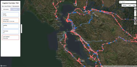
Pantograph pantographapp.com
A way to explore a transit system in real time.
-
Sketch Line overpass-api.de
A tool to create transport diagram out of OSM data.
-
OpenStreetMap Route Editor osm-simple-route-editor.kyle.kiwi
A tool for efficiently editing Route Relations in OpenStreetMap - OSM
-
OpenStationMap openstationmap.org
Displays indoors of public transport stations (including rails and platforms).
-
OpenRailwayMap openrailwaymap.org
Worldwide map of railways using OpenStreetMap data.
-
OpenMobilityData (Deprecated) openmobilitydata.org
List of GTFS and GTFS-RT feeds. Archives and validates the GTFS feeds and allows you to preview both GTFS and GTFS-RT through the browser. Formerly TransitFeeds.com. MobilityData announced it is end-of-life as of early 2022 with a shutdown date to be determined.
-
TCRP Synthesis 115 - Open Data: Challenges and Opportunities for Transit Agencies onlinepubs.trb.org
(2015) - A comprehensive report looking at the benefits and challenges of open transit data.
-
OneBusAway onebusaway.org
A Java app that consumes GTFS and GTFS-Realtime (along with other formats) and turns them into an easy to use REST API.
-
World Bank - "Intro. to GTFS" online course olc.worldbank.org
A free, online, self-paced course for learning about GTFS and GTFS-realtime.
-
Ohtli ohtli.codeandomexico.org
. Free-access tool for creating and managing GTFS transit data, especially for cities where public transport information still exists mostly as operational knowledge instead of structured digital systems. Built around OpenStreetMap, it helps map routes, stops, and service…
-
TODS ods.calitp.org
Transit Operational Data Standard: standard format for representing transit schedules used by drivers, dispatchers, and planners to carry out transit operations.
-
motis-fptf-client npmjs.com
A Friendly Public Transport Format (FPTF) client for MOTIS that is a drop-in replacement for hafas-client and/or db-vendo-client.
-
motis-client npmjs.com
MOTIS API TypeScript client
-
NextBus API nextbus.com
REST API for real-time vehicle, route, stop, and arrival data for agencies that have puchased NextBus's hardware and/or software.
- next page of items loading…