-
OpenStreetMap wiki.openstreetmap.org
Retrieve OpenStreetMap data via Overpass API.
-
World Bank unccd.int
Free access to global development data.
-
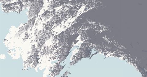
TopoExport topoexport.com
Export 2D contour lines and 3D topography using open-source datasets.
-
Map of notable people tjukanovt.github.io
Topi Tjukanov.
-
FilmMap thefilmmap.com
Where films and television were actually shot: 15,272 filming locations across 161 countries, each one traced to a Wikidata statement.
-
viz-palette susielu.com
Tool optimized for tweaking, copying, and pasting colors in and out of JavaScript.
-
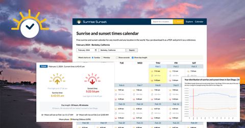
Sunrise and sunset sunrise-sunset.org
Provides sunset and sunrise times for locations.
-
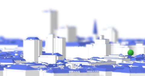
ShadeMap shademap.app
Every mountain, building and tree shadow in the world simulated for any date and time.
-
NASA Earth Data search.earthdata.nasa.gov
Search, discover, visualize, refine, and access NASA Earth Observation data in your browser with Earthdata Search.
-
REST countries restcountries.com
Get country information via a RESTful API.
-
RainViewer rainviewer.com
Free weather radar and satellite data API.
-
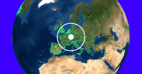
Radio Garden radio.garden
3D Globe Radio Tuner.
-
Potree & Cesium.js potree.org
Rezt, Austria LIDAR viewer.
-
PostalCodes postalcodes.info
Global postal code search, country exports, and address validation data.
-
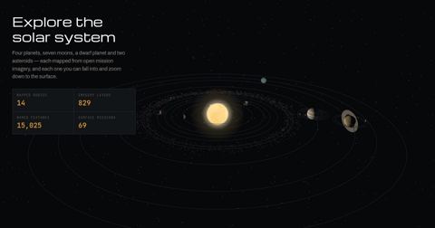
Planetary Atlas planetatlas.org
Zoomable maps of 14 worlds built from open NASA, USGS, ESA and JAXA imagery, with the IAU nomenclature and 69 surface mission landing sites.
-
Map of the Roman transport network orbis.stanford.edu
The Stanford Geospatial Network Model of the Roman World.
-
Open Topography opentopography.org
High-resolution topography data and tools.
-
opentopodata API opentopodata.org
Open Topography Data API.
-
openrouteservice openrouteservice.org
Directions, isochrones, and geocoding services.
-
Open Charge Map API openchargemap.org
Public registry of electric vehicle charging locations.
-
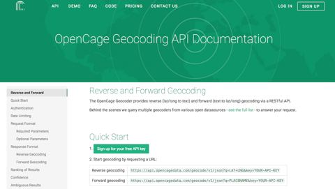
OpenCage opencagedata.com
Forward and reverse geocoding API using open data.
-
OpenAQ openaq.org
Largest open-source air quality data platform.
-
OpenAerialMap openaerialmap.org
Open service for accessing licensed imagery.
-
Open Notify open-notify.org
ISS location and number of people in space.
-
Bivariate Choropleth with Continuous Color Scales observablehq.com
Stephanie Tuerk.
-
Hello, Mapbox GL observablehq.com
Mike Bostock.
-
Hello, Leaflet observablehq.com
ObservableHQ.
-
Hello, gridviz observablehq.com
Nicolas Lambert.
-
Hello, Bertin.js observablehq.com
Nicolas Lambert.
-
Bars and pubs in Paris observablehq.com
Nicolas Lambert.
-
Hexgrid maps with d3-hexgrid observablehq.com
Larsvers.
-
GeoParquet on the web observablehq.com
Kyle Barron.
-
GeoArrow and GeoParquet in deck.gl observablehq.com
Kyle Barron.
-
Try to impeach this? Challenge accepted! observablehq.com
Karim Douieb.
-
Brussels Street Gender Inequality observablehq.com
Karim Douieb.
-
Visualizing Eurostat grid data using Three.js & D3 observablehq.com
Joe Davies.
-
Visualizing earthquakes with Three.js observablehq.com
Joe Davies.
-
Hello, eurostat-map.js observablehq.com
Joe Davies.
-
How to make a nice scalebar observablehq.com
Julien Gaffuri.
-
Election maps as dorling striped circles observablehq.com
Julien Gaffuri.
-
Interactive Regl wind demo observablehq.com
Daniel Kao.
-
World Tour observablehq.com
D3.
-
Choropleth observablehq.com
D3.
-
#GISCHAT Twitter Users with MapBoxGL - Globe Projection observablehq.com
Chris Marx.
-
Animating voting maps with regl observablehq.com
Benjamin Schmidt.
-
Dorling cartogram of the Spanish Presidential election observablehq.com
Adrián Blanco.
-
Map of every building in the United States nytimes.com
New York Times.
-
ETOPO1 ngdc.noaa.gov
1 arc-minute global relief model of Earth's surface.
-
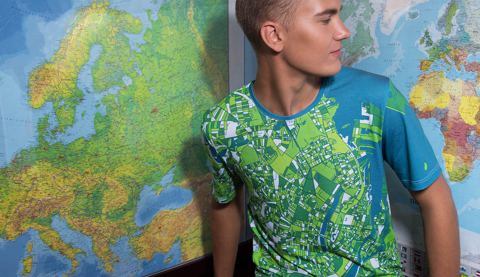
MapOnShirt maponshirt.com
Create colorful designs from maps and turn them into products.
-
Map Icons Collection mapicons.mapsmarker.com
A set of more than 1000 free and customizable icons to use as placemarks for your POI (Point of Interests) locations on your maps.
- next page of items loading…