HAZUS
FEMA's Hazus Program provides standardized tools and data for estimating risk from earthquakes, floods, tsunamis, and hurricanes. Risk assessment resources and tools from the Hazus program are always freely available and transparently developed.

- from
- Urban & Regional Planning
- added
- 2026-10-10
- likes
- 0
similar
-
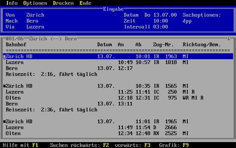
HAFAS de.wikipedia.org
Propriety public transport management software by HaCon (list of endpoints)
-
Climate Mapping For Resilience and Adaptation resilience.climate.gov
Integrates information from across the federal government to help people consider their local exposure to climate-related hazards. People working in community organizations or public agencies can use the site to help them develop equitable climate resilience plans to protect…
-
RiskFactor firststreet.org
Provided by the First Street Foundation, this tool enables users to understand properties' environmental risks from flooding, wildfire and extreme heat. The tool communicates historic events, current risks, and future projections for properties based on peer-reviewed research…
-
-
HYPE hypeinnovation.com
provides software to help idea and innovation managers collect and manage ideas.
-
HIFLD hifld-geoplatform.opendata.arcgis.com
This site provides National foundation-level geospatial data within the open public domain that can be useful to support community preparedness, resiliency, research, and more.



Urban & Regional Planning › Platforms and Software Resources > Environmental and Climate Planning Tools and Platforms: “FEMA's Hazus Program provides standardized tools and data for estimating risk from earthquakes, floods, tsunamis, and hurricanes. Risk assessment resources and tools from the Hazus program are always freely available and transparently developed.”