Esri Tapestry Segmentation
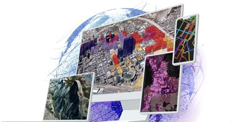
Provides concise information on the demographic, economic, education and consumer characteristics of populations based on ZIP code.
- from
- Urban & Regional Planning
- added
- 2026-10-10
- likes
- 0
similar
-
Demographics developers.arcgis.com
Discover local facts and demographic information with the GeoEnrichment service.
-
ArcGIS esri.com
This platform is a geographic information system (GIS) for working with maps and geographic information maintained by the Environmental Systems Research Institute (ESRI).
-
Thematic Mapping: 101 Inspiring Ways to Visualise Empirical Data esri.com
Kenneth Field.
-
Esri's Python For Everyone esri.com
This course provides the building blocks you need to use Python. You will create and run scripts using these building blocks, and you can apply them directly inside ArcGIS and to your own workflows.
-
GIS Tools for Hadoop esri.github.io
-
rasterio github.com
Geographic information systems use GeoTIFF and other formats to organize and store gridded raster datasets such as satellite imagery and terrain models.


Urban & Regional Planning › Vendor Data Resources > Demographic: “Provides concise information on the demographic, economic, education and consumer characteristics of populations based on ZIP code.”