Frontend GIS
202 items from joewdavies/awesome-frontend-gis ★872
-
USGS Earth Explorer earthexplorer.usgs.gov
Query and order satellite images and more.
-
breezometer docs.breezometer.com
Air Quality, Weather, Pollen, and Environmental data.
-
Google Maps developers.google.com
JavaScript API for Google Maps.
-
Google Earth Engine developers.google.com
Geospatial processing service.
-
ArcGIS location services developers.arcgis.com
Basemaps, Geocoding, Places, routing, and GeoEnrichment.
-
what3words developer.what3words.com
Converts 3-word addresses to coordinates.
-
TomTom developer.tomtom.com
Geocoding, routing, traffic, and more.
-
HERE maps API developer.here.com
Build web applications with feature-rich and customizable HERE maps.
-
Detourmap detourmap.com
Waterfalls, caves, volcanoes and lonely coasts, plus the ruins, tombs, ghost towns and shipwrecks people left behind, on one world map, built from Wikidata.
-
Global power plant database datasets.wri.org
Open source database of power plants.
-
WRI datasets.wri.org
World Resources Institute.
-
Country State City API countrystatecity.in
Database of city, state, and country data.
-
Copernicus open access hub copernicus.eu
Copernicus satellite imagery download.
-
Color use guidelines for mapping and visualization colorbrewer2.org
Cynthia A. Brewer.
-
ClimateArchive climatearchive.org
An interactive visualisation of climate model data across time and space.
-
Fundamentals of Data Visualization clauswilke.com
Claus O. Wilke.
-
chronotrains chronotrains.com
Where can you go by train in 8h?
-
geotiff.io app.geotiff.io
Provides quick access to easy-to-use raster processing.
-
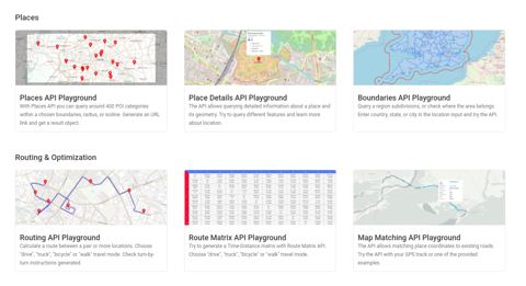
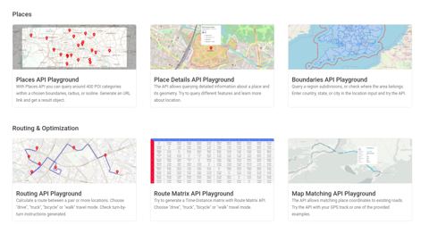
Geoapify map marker playground apidocs.geoapify.com
The Marker Icon API lets you create beautiful icons and use them as Map Markers.
-
Geoapify apidocs.geoapify.com
Geospatial services such as maps, geocoding, and routing.
-
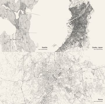
city roads anvaka.github.io
Render every single road in any city at once.
-
Shapefile Viewer & GeoJSON Converter 9revolution9.com
Open a zipped shapefile on a map and convert it to RFC 7946 GeoJSON without uploading anything.