-
Kata11: Sorting It Out codekata.com
-
Kata10: Hashes vs. Classes codekata.com
-
Kata09: Back to the Checkout codekata.com
-
Kata08: Conflicting Objectives codekata.com
-
Kata07: How'd I Do? codekata.com
-
Kata06: Anagrams codekata.com
-
Kata05: Bloom Filters codekata.com
-
Kata04: Data Munging codekata.com
-
Kata03: How Big? How Fast? codekata.com
-
Kata02: Karate Chop codekata.com
-
Kata01: Supermarket Pricing codekata.com
-
Bank OCR code.joejag.com
-
CodeCrafters(Build your own Git, Redis, Docker etc.) app.codecrafters.io
-
Drupal drupal.org
-
Javier Luraschi github.com
-
ggvis ggvis.rstudio.com
-
Victory formidable.com
-
fabiosouto.me fabiosouto.me
-
Types of plots en.wikipedia.org
-
List of graphical methods en.wikipedia.org
-
Types of diagrams en.wikipedia.org
-
Data visualization techniques en.wikipedia.org
-
Types of charts en.wikipedia.org
-
eagereyes eagereyes.org
-
Interactive Chart Chooser depictdatastudio.com
-
Data Viz Today dataviztoday.com
-
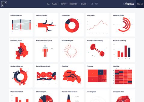
Data Viz Project datavizproject.com
-
Data Visualization Society datavisualizationsociety.com
-
visNetwork datastorm-open.github.io
-
Interactive Data Visualization for the Web chimera.labs.oreilly.com
-
Marble Taxonomy Explorer ashutoshsinghpr7.github.io
-
ApexCharts apexcharts.com
-
Chartopedia anychart.com
-
Ann K. Emery annkemery.com
-
Visualization Analysis and Design amazon.com
-
-
-
The Grammar of Graphics amazon.com
-
Design for Information amazon.com
-
-
The Best American Infographics 2014 amazon.com
-
National Zoning Atlas zoningatlas.org
This collaborative project is working to depict key aspects of zoning codes in an online, user-friendly map to enable cross jurisdiction comparisons of land use regulations. This project was further explored a Planning Webcasts here and here.
-
Xarray-spatial xarray-spatial.org
Implements common raster analysis functions using Numba and provides an easy-to-install, easy-to-extend codebase for raster analysis.
-
WUDAPT wudapt.org
This database intends to make accessible coherent and consistent descriptions and information on form and function of urban morphology relevant to climate & environment studies on a worldwide basis.
-
WHO Data who.int
The World Health Organization's (WHO) health data collections featuring international datasets on health indicators and related data.
-
UNESCO World Heritage Sites whc.unesco.org
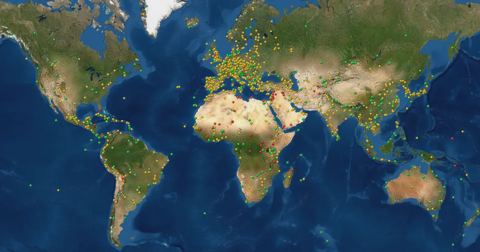
A World Heritage Site is a site on a list of properties maintained by the World Heritage Committee of UNESCO and called the World Heritage List "which it considers as having outstanding universal value".
-
WeJo wejo.com
Has made it simple and secure to share and access connected car data, on a global scale. This data can be used for everything from origin-destination analysis, safety & speed studies, and more.
-
Waypoint waypointtransit.com
An AI proprietary platform for city planning that helps planners automate routine workflows, connect planning data sources, and run geospatial analyses, permitting reviews, corridor studies, safety audits, and custom reports.
-
tidycensus walker-data.com
A tidy approach to accessing data from the US Census Bureau API for manipulation or spatial analysis.
-
VivaCity vivacitylabs.com
Viva provides transportation monitoring solutions that help identify near-miss behavior on streets and multimodal counts.
- next page of items loading…