-
Introduction à Docker blog.stephane-robert.info
A dedicated section to master Docker on a French site about DevSecOps: From the basics to best practices, including optimizing, securing your containers...
-
Running a Legacy ASP.NET App in a Windows Container blog.sixeyed.com
Steps for Dockerizing a legacy ASP.NET app and running as a Windows container
-
Docker Containers on the Desktop blog.jessfraz.com
-
Docker with Microsoft SQL 2016 + ASP.NET blog.alexellis.io
Demonstration running ASP.NET and SQL Server workloads in Docker
-
Better Stack betterstack.com
:yen: A Docker-compatible observability stack that delivers log aggregation and uptime monitoring for containerized apps.
-
Azure AKS azure.microsoft.com
:yen: Fully managed Kubernetes container orchestration service.
-
Azure Container Registry azure.microsoft.com
:yen: Manage a Docker private registry as a first-class Azure resource.
-
Amazon Elastic Container Registry aws.amazon.com
:yen: Amazon Elastic Container Registry (ECR) is a fully-managed Docker container registry that makes it easy for developers to store, manage, and deploy Docker container images.
-
Aqua Security aquasec.com
:yen: Securing container-based applications from Dev to Production on any platform.
-
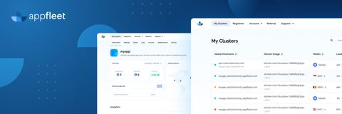
Appfleet appfleet.com
:yen: Edge platform to deploy and manage containerized services globally; routes traffic to the closest location for low latency.
-
Anchor Enterprise anchore.com
:yen: Analyze images for CVE vulnerabilities and against custom security policies.
-
WorldPop worldpop.org
Open access spatial demographic datasets.
-
OpenStreetMap wiki.openstreetmap.org
Retrieve OpenStreetMap data via Overpass API.
-
World Bank unccd.int
Free access to global development data.
-
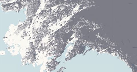
TopoExport topoexport.com
Export 2D contour lines and 3D topography using open-source datasets.
-
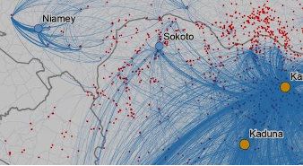
Map of notable people tjukanovt.github.io
Topi Tjukanov.
-
FilmMap thefilmmap.com
Where films and television were actually shot: 15,272 filming locations across 161 countries, each one traced to a Wikidata statement.
-
viz-palette susielu.com
Tool optimized for tweaking, copying, and pasting colors in and out of JavaScript.
-
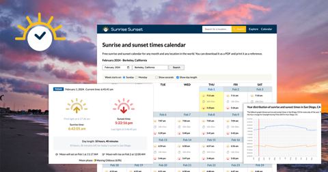
Sunrise and sunset sunrise-sunset.org
Provides sunset and sunrise times for locations.
-
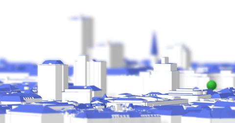
ShadeMap shademap.app
Every mountain, building and tree shadow in the world simulated for any date and time.
-
NASA Earth Data search.earthdata.nasa.gov
Search, discover, visualize, refine, and access NASA Earth Observation data in your browser with Earthdata Search.
-
REST countries restcountries.com
Get country information via a RESTful API.
-
RainViewer rainviewer.com
Free weather radar and satellite data API.
-
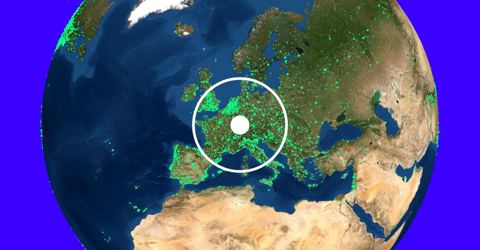
Radio Garden radio.garden
3D Globe Radio Tuner.
-
Potree & Cesium.js potree.org
Rezt, Austria LIDAR viewer.
-
PostalCodes postalcodes.info
Global postal code search, country exports, and address validation data.
-
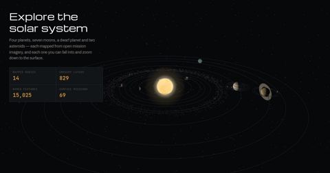
Planetary Atlas planetatlas.org
Zoomable maps of 14 worlds built from open NASA, USGS, ESA and JAXA imagery, with the IAU nomenclature and 69 surface mission landing sites.
-
Map of the Roman transport network orbis.stanford.edu
The Stanford Geospatial Network Model of the Roman World.
-
Open Topography opentopography.org
High-resolution topography data and tools.
-
opentopodata API opentopodata.org
Open Topography Data API.
-
openrouteservice openrouteservice.org
Directions, isochrones, and geocoding services.
-
Open Charge Map API openchargemap.org
Public registry of electric vehicle charging locations.
-
OpenCage opencagedata.com
Forward and reverse geocoding API using open data.
-
OpenAQ openaq.org
Largest open-source air quality data platform.
-
OpenAerialMap openaerialmap.org
Open service for accessing licensed imagery.
-
Open Notify open-notify.org
ISS location and number of people in space.
-
Bivariate Choropleth with Continuous Color Scales observablehq.com
Stephanie Tuerk.
-
Hello, Mapbox GL observablehq.com
Mike Bostock.
-
Hello, Leaflet observablehq.com
ObservableHQ.
-
Hello, gridviz observablehq.com
Nicolas Lambert.
-
Hello, Bertin.js observablehq.com
Nicolas Lambert.
-
Bars and pubs in Paris observablehq.com
Nicolas Lambert.
-
Hexgrid maps with d3-hexgrid observablehq.com
Larsvers.
-
GeoParquet on the web observablehq.com
Kyle Barron.
-
GeoArrow and GeoParquet in deck.gl observablehq.com
Kyle Barron.
-
Try to impeach this? Challenge accepted! observablehq.com
Karim Douieb.
-
Brussels Street Gender Inequality observablehq.com
Karim Douieb.
-
Visualizing Eurostat grid data using Three.js & D3 observablehq.com
Joe Davies.
-
Visualizing earthquakes with Three.js observablehq.com
Joe Davies.
-
Hello, eurostat-map.js observablehq.com
Joe Davies.
- next page of items loading…