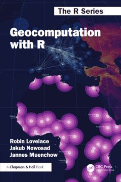
Geocomputation with R
This book is about using the power of computers to do things with geographic data. It teaches a range of spatial skills, including reading, writing and manipulating geographic data; making static and interactive maps; applying geocomputation to solve real-world problems; and…
- from
- Learning
- added
- 2026-10-10
- likes
- 0
similar
-
Introduction to R & Spatial Data with Raster and Terra rspatial.org
This document provides a concise introduction to R. It emphasizes what you need to know to be able to use the language in any context. Author: Professor Robert Hijmans.
-
The Book of R web.itu.edu.tr
The aim of The Book of R: A First Course in Programming and Statistics is to provide a relatively gentle yet informative exposure to the statistical software environment R, alongside some common statistical analyses, so that readers may have a solid foundation from which to…
-
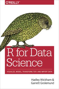
R for Data Science by Garrett Grolemund & Hadley Wickham r4ds.had.co.nz
This book will teach you how to do data science with R. You will learn how to get your data into R, get it into the most useful structure, transform it, visualize it and model it. Exercise Solutions Authors: Garrett Grolemund and Hadley Wickham.
-
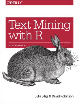
Text Mining with R tidytextmining.com
This book serves as an introduction of text mining using the tidytext package and other tidy tools in R. Authors: Julia Silge and David Robinson.
-
Stars cran.r-project.org
Reading, manipulating, writing and plotting spatiotemporal arrays (raster and vector data cubes) in 'R'.
-
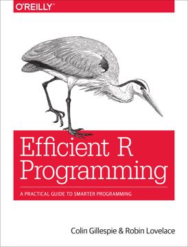
Efficient R Programming by Colin Gillespie & Robin Lovelace (2017) csgillespie.github.io
Efficient R Programming is about increasing the amount of work you can do with R in a given amount of time. It’s about both computational and programmer efficiency. Authors: Colin Gillespie, Robin Lovelace.
Learning › Books: “This book is about using the power of computers to do things with geographic data. It teaches a range of spatial skills, including reading, writing and manipulating geographic data; making static and interactive maps; applying geocomputation to solve real-world problems; and…”