Ecopia
Leverages AI to convert high resolution images of the earth into HD Vector Maps and to digitize infrastructure assets in a geospatial format.
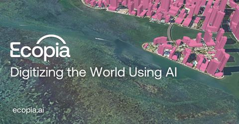
- from
- Urban & Regional Planning
- added
- 2026-10-10
- likes
- 0
similar
-
EcoTerra Bot ecoterrabot.com
-
EcoTree ecotree.green
-
Ecotricity ecotricity.co.uk
-
EarthDefine earthdefine.com
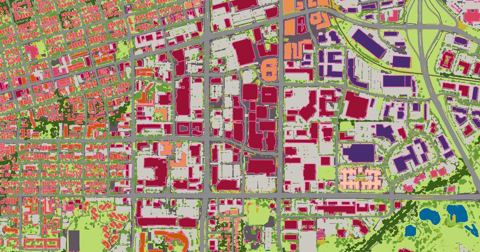
Using AI to transform earth sensor data into consumable geospatial information products including high resolution land cover classifications and building footprints.
-
Geomate geomate.ca
Provides HD vector maps from high-resolution aerial imagery to support autonomous vehicles and urban planning use cases.
-
Eyeo Festival eyeofestival.com
Festival for Artists, data designers, creative coders, AI explorers, storytellers, tool & platform developers, and researchers all. (June)

Urban & Regional Planning › Vendor Data Resources > Infrastructure: “Leverages AI to convert high resolution images of the earth into HD Vector Maps and to digitize infrastructure assets in a geospatial format.”